Is here a connection between Abenaki native Americans and European travelers long ago?
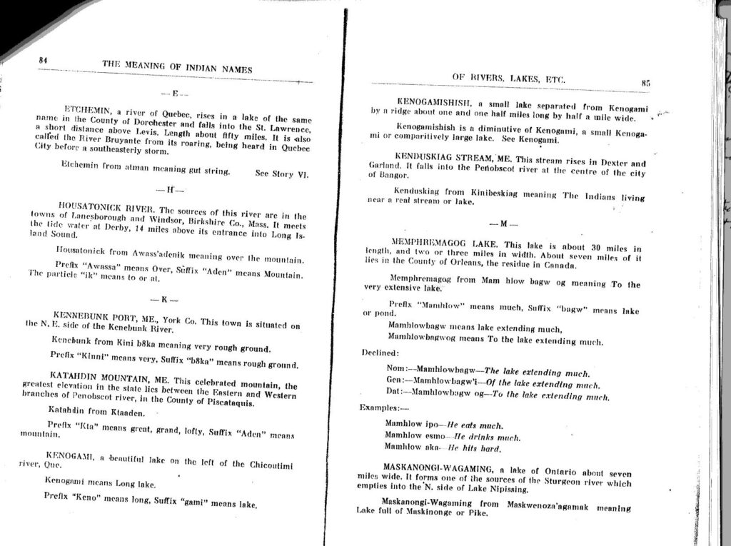
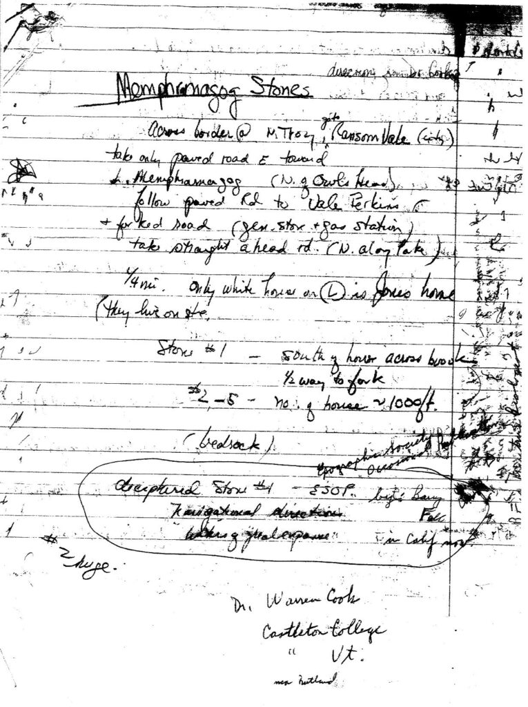
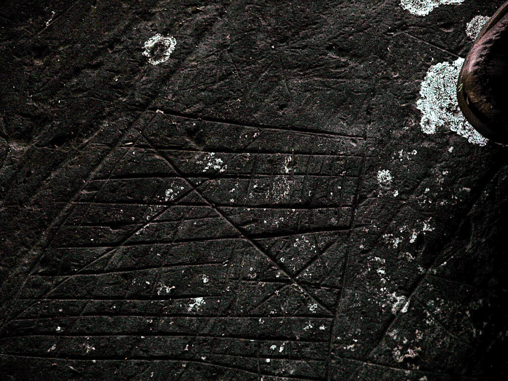
Years ago in the1970’s I was asked by a member of NEARA (New England Antiquities Research Association) to see if I could find some markings on rocks on Harry Jone’s farm near Vale Perkins, Quebec, one of which was supposed to be a deciphering on stone #2 by Dr. Bary Fell of Harvard University, saying “navigational directions – waters of great expanse“. I succeeded. I even took some friends with Abenaki blood to see them. Then I found the following Abenaki definition of the nearby lake, our long local international lake, Lake Memphremagog “mam hlow bagw og” meaning to the very extensive lake. Wow, these are very similar meanings.
Why would a lake have a name meaning a direction to something? Other definitions like Coaticook means “river of pines”, Massawippi means “of great depth, Massachusetts means “to the great mountain”.
From these rocks and rock markings near Vale Perkins, it is very interesting that one can go by water, as people did thousands of years ago, to the Atlantic Ocean -and Europe (Lake Memphremagog-Magog River-St Francis River-St Lawrence River- Atlantic Ocean). One can also go by water mostly to Long Island Sound/Atlantic Ocean (Lake Memphremagog-Clyde river system and Salem lakes- Island Pond-a short portage-Nulhegan River-Connecticut River-Atlantic Ocean). One can also go to New York City mostly by water (Lake Memphremagog- a short portage to the Missisquoi River-Lake Champlain-Hudson River-NYC-Atlantic Ocean), and along the way you can take the Mohawk River west through New York state nearly to Buffalo and Lake Erie.
These rocks might have been “road signs” directions of how to go places from there. It is also interesting that the rocks contain aluminum and do not weather away easily but are fairly easy to mark, so the signs last a long time.
Dave Perkins once told me that there were many more “writings” on rocks that he saw while walking to the bus and he told his father who contacted McGill University, but when they improved the road they blasted away many of the rocks with markings.
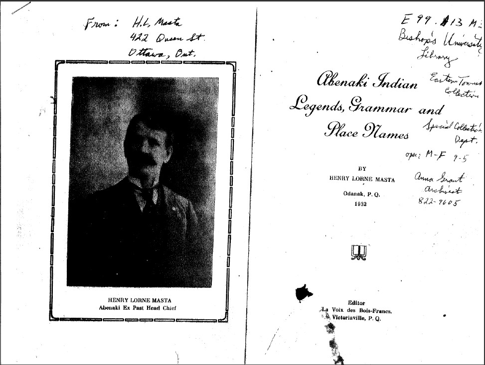
Image of Henry Lorne Masta’s book in the reserve collection at Bishops University in Lennoxville, Quebec, and the definition of Memphremagog.
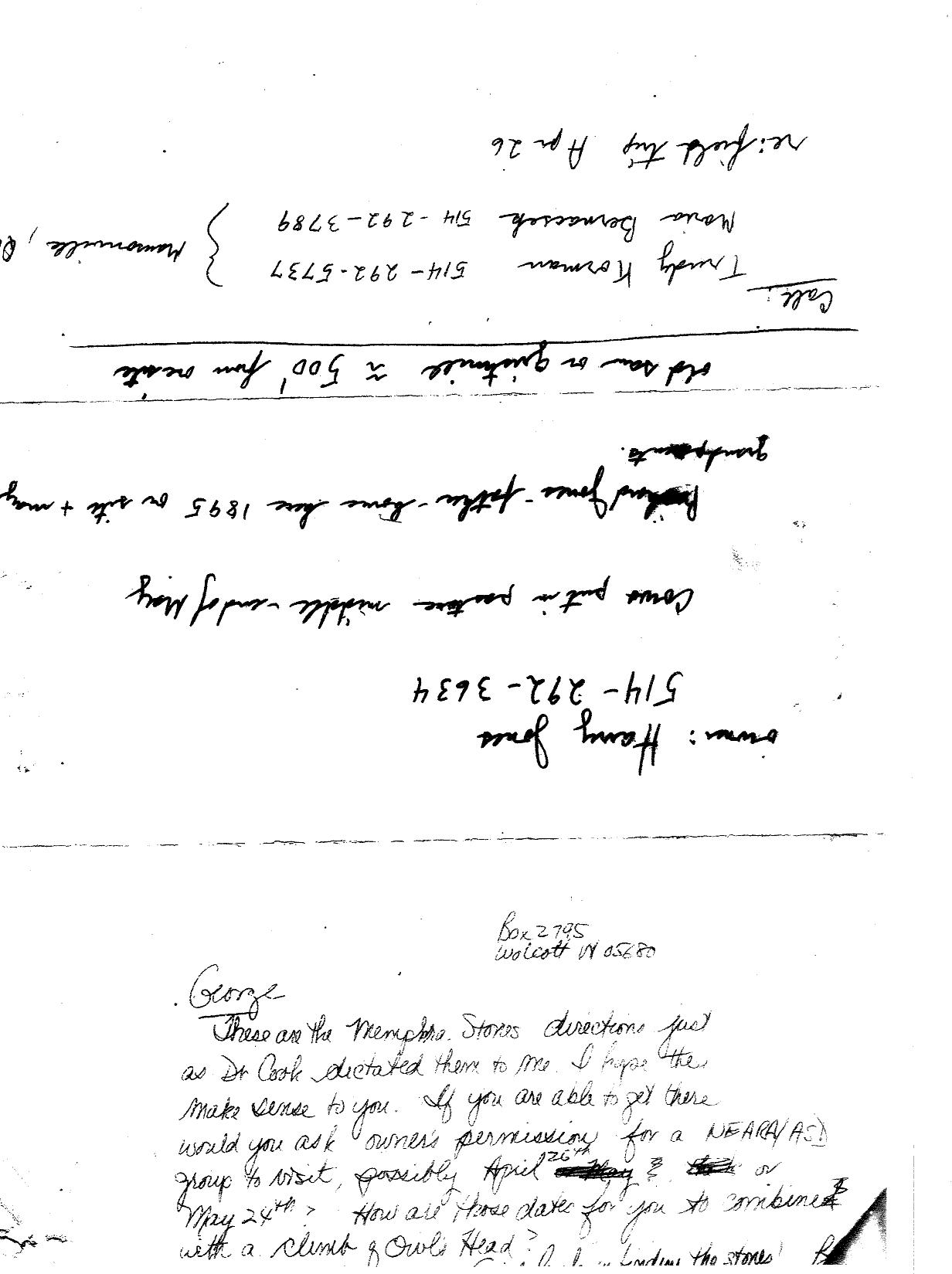
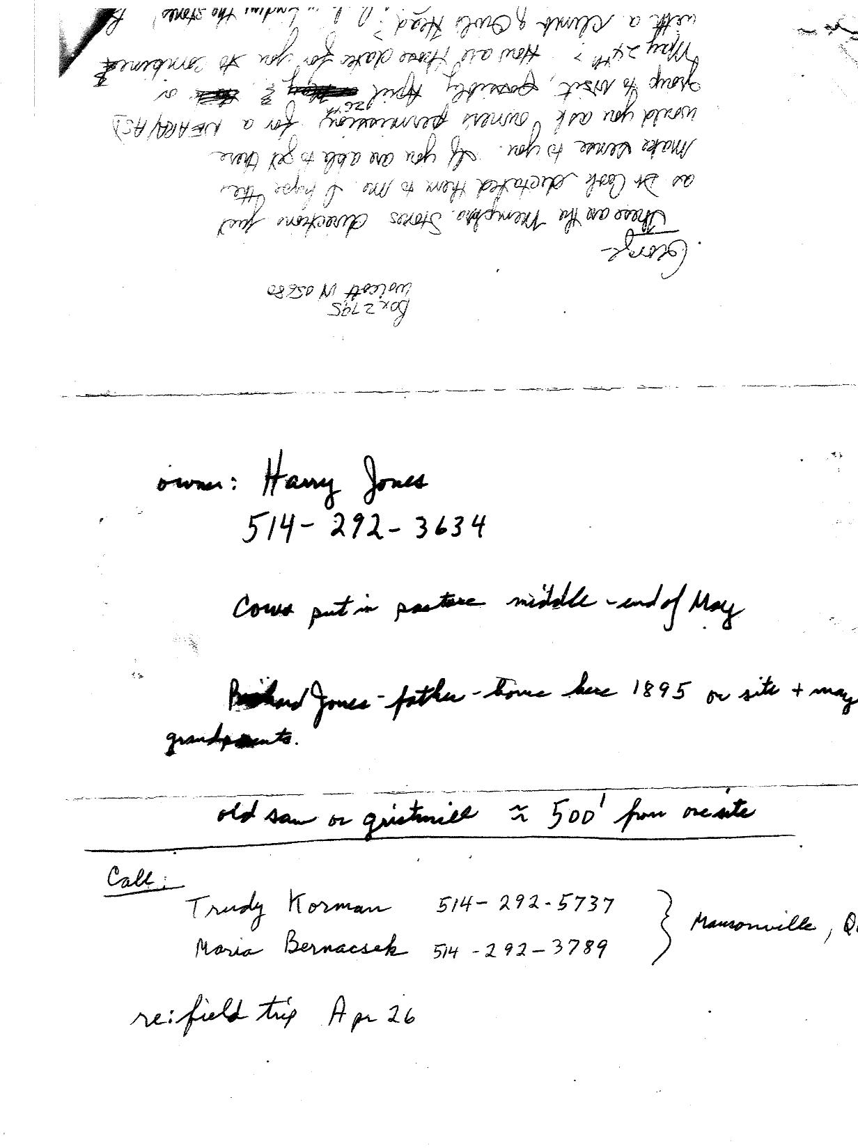
From my notes:
A picture of some of the markings on the rocks.
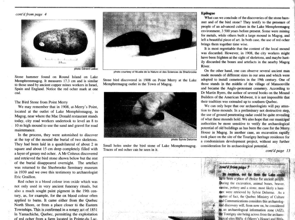
More local findings:
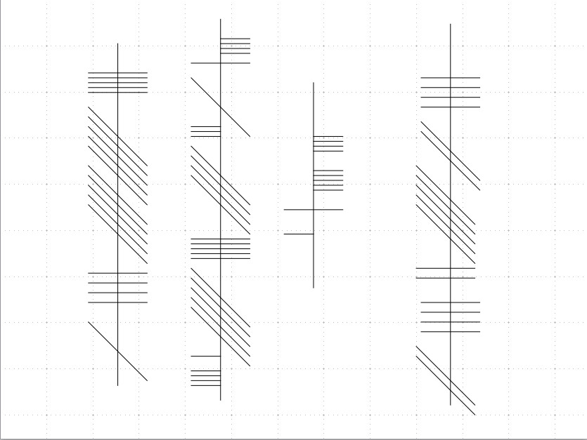
Examples of Ogam writing:
